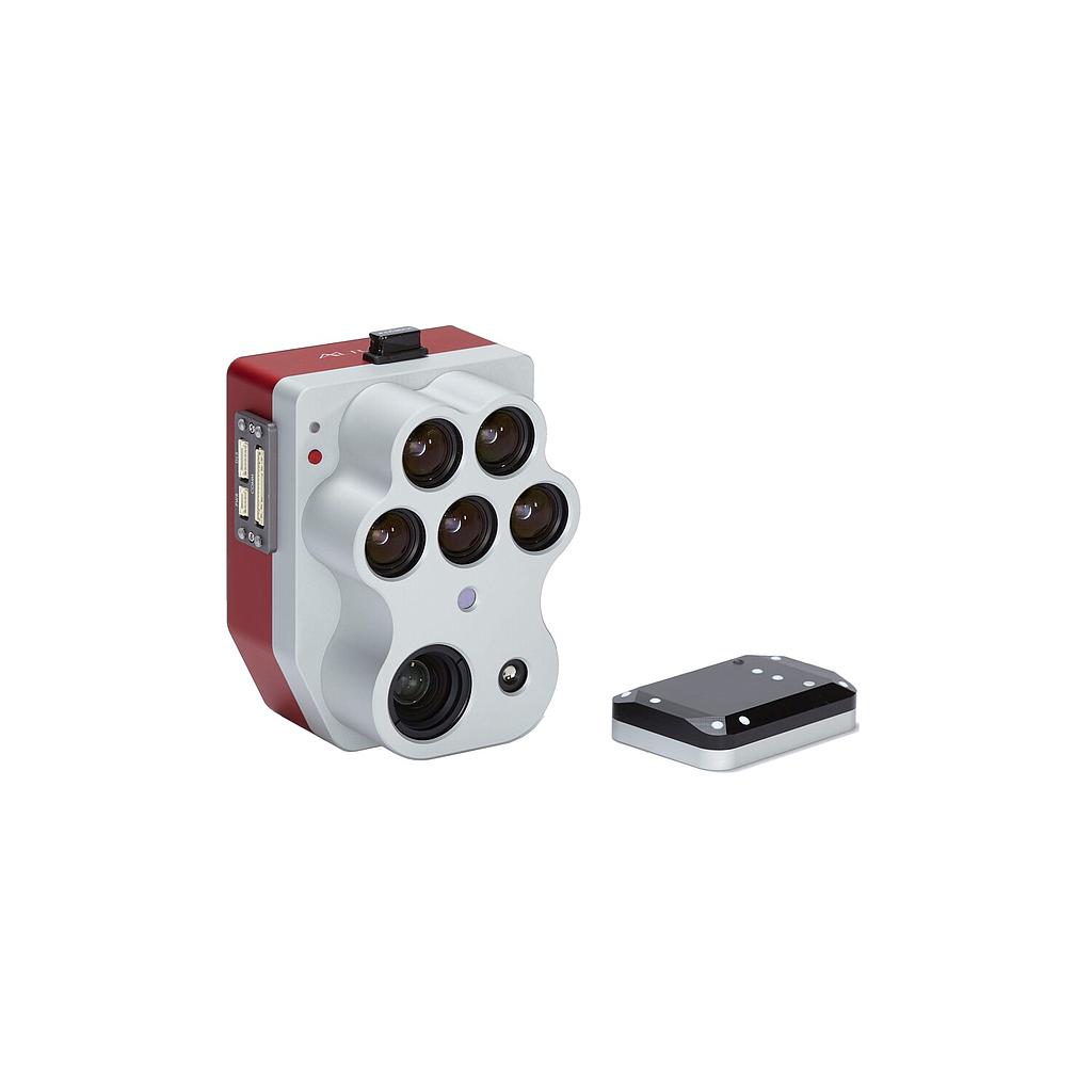
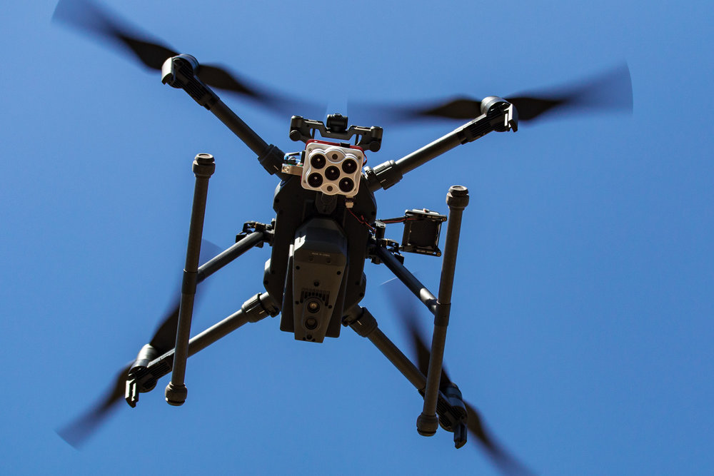
Altum-PT is an optimized 3-in-1 solution for advanced remote mapping and agricultural research. It seamlessly integrates an ultra-high-resolution panchromatic camera, a new thermal camera that provides twice the topographic resolution of the previous Altum, and five separate spectral bands, enabling plant-level applications such as counting standing plants at an early stage. Altum-PT also features a global shutter for distortion-free results, open API (Application Program Interface), and a new storage device that allows up to 2 captures per second.
Features:
- Capture aligned high-resolution, multispectral, and thermal imagery using only one sensor. Generate analytics for phenotyping, irrigation, and plant health from one data set.
- Built-in 320 x 256 FLIR Boson® that enables thermal maps at twice the ground resolution of Altum - 17cm from 60m flight altitude.
- Improved resolution means more accurate digital surface models, easier stitching at lower altitudes, and better plant classification and plant counting.
- CFexpress storage means you can fly longer and cover more acreage.
- Fast capture rate enables faster flight speeds and lower flight altitudes.
- Communication and triggering options allow for a customized integration; choose the configuration that best suits your project.
- Standard 16 bit TIFF file ouputs give you full access to raw data so you can process it on the platform of your choosing.
- DLS 2 features enhanced reflectance calibration, and combined GPS and DLS to simplify integration.
Discover the power
of layers
Scroll through the high-res RGB, multispectral, and thermal images below and discover not only pre-existing irrigation leaks, but new leaks in this Washington vineyard.

Image above shows pumpkins and a standard sized wheelbarrow for context.
More detail from
200 ft.
Five high-resolution lenses mean you get detailed plant health imagery (1.2 cm GSD) and detailed Digital Surface Models all from 200 ft.

To install this Web App in your iPhone/iPad press
![]() and then Add to Home Screen.
and then Add to Home Screen.


